What happened on Monday
Heavy rain hit Tokyo and neighbouring parts of the Kanto region on Monday, 7 September, flooding low-lying areas, interrupting rail services and closing schools. The most extreme totals were reported on the Izu Islands south of the capital, where the Japan Meteorological Agency issued the highest-level landslide emergency alert for Niijima and Toshima villages and Oshima town.
The Japan Times reported 581.5 millimetres of rain on Izu Oshima in the 24 hours to 14:30 on Monday, citing the JMA. Parts of the wider Tokyo metropolitan area exceeded 200 mm over the same broad period. Chiba city's Chuo Ward recorded 148 mm in the 24 hours to 16:20.
These totals are tied to specific gauges and ending times. They should not be treated as a uniform depth across Tokyo, Kanto or every island. Rainfall can vary sharply over short distances, especially when intense bands remain over one place.
The Level 5 alert
A Level 5 emergency alert is the highest category on Japan's five-level disaster warning scale. The alert named three Izu Island municipalities, not all of Japan. People in an affected area should follow the local instructions and use the JMA warning and risk maps for their actual location.
The JMA also urged vigilance for landslides, rising rivers and flooding in low-lying areas. Those hazards do not peak at exactly the same time. A river can continue rising after the heaviest rain moves away, and saturated slopes can remain unstable. The end of rainfall is therefore not automatically an all-clear.
Warning status is time-sensitive. This article records what was reported on 7 September; it does not reproduce a live warning banner. Readers should open the JMA page before making a travel or safety decision.
One death reported near Iwaki
The Japan Times reported that two vehicles were found submerged in a flooded underpass in Iwaki, Fukushima Prefecture, on Monday morning. A woman in her 60s was taken from one vehicle to hospital and pronounced dead; a person in the other vehicle escaped. The account was attributed to broadcaster TBS.
An underpass can fill faster than the surrounding road makes obvious, and water depth is difficult to judge from a vehicle. This individual report should not be expanded into a national casualty total without a later consolidated statement from authorities.
Schools and transport
Around 3,000 public elementary and middle schools across Japan cancelled classes because of the rain, according to education ministry figures cited by The Japan Times. On the railway, the Yamanote, Chuo and Sobu lines ran 20% to 30% fewer trains on Monday, while some Shinkansen services were delayed. The Yamagata Shinkansen temporarily suspended service before partial operations resumed.
A percentage reduction in trains is not the same as a full line closure. Operational information also ages quickly: crews inspect tracks, water recedes and rolling stock moves out of position. A traveller should use the train operator's live service page rather than relying on Monday's disruption list.
Why the rain became so intense
The report described a front continuing north while Tropical Depression Krovanh supplied warm, damp air. At 09:00 on Monday, the system was moving slowly north-northeast over waters near Minamidaito in Okinawa Prefecture. The JMA warned that a linear rain band could form in Kanto and the Izu Islands, sharply increasing disaster risk.
A tropical system does not need to make a direct landfall over Tokyo to influence rainfall. Moist air can feed a separate front or convergence zone far from the storm centre. That is why focusing only on the plotted track can miss the principal flood hazard.
Attribution of an individual flood to one ingredient should remain cautious. The front, moisture transport, local terrain and the exact placement and persistence of heavy rain all shaped the outcome.
What to check now
For current conditions, start with the JMA warnings and real-time risk maps, then use municipal evacuation information and transport operators. Check the location and issue time before sharing a screenshot; a Level 5 alert for one island cannot be copied as if it applied to the entire Kanto region.
Floodwater, rivers and slopes can remain dangerous after the sky brightens. Follow local restrictions, avoid inundated roads and do not use a general city forecast as evidence that an official warning has ended.
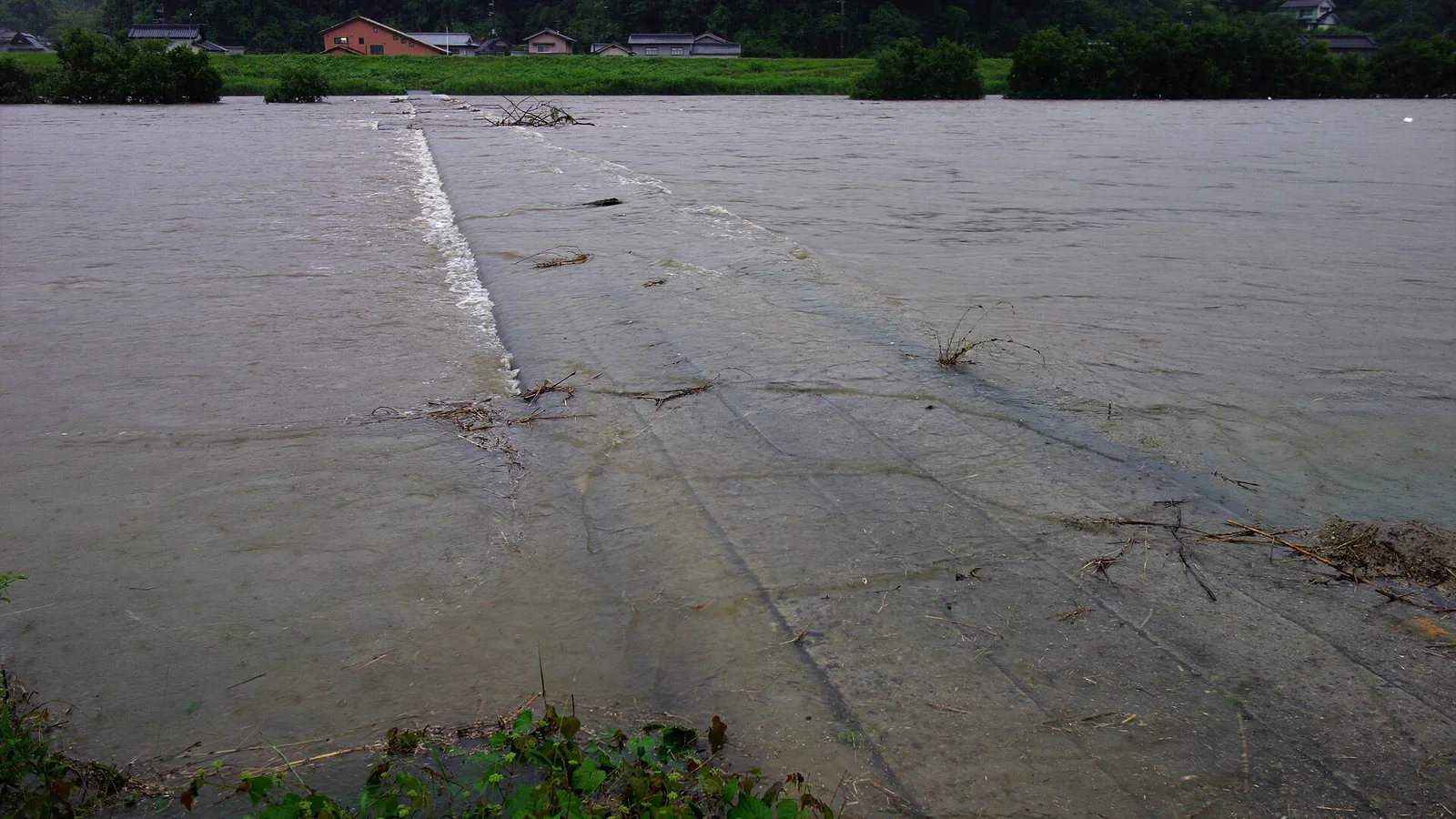
The cover photograph is an archival image of the Ashida River in Hiroshima Prefecture during the July 2018 floods. It illustrates bridge inundation but does not depict the September 2026 Kanto event.